Проверка
Проверка
Проверка
Проверка
Проверка
Проверка
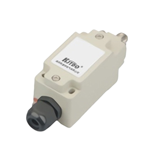
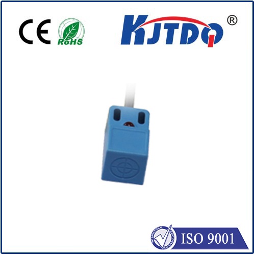
In the rapidly evolving landscape of sensing technology, the Lidar laser range sensor stands as a cornerstone of modern precision. This sophisticated device, which stands for Light Detection and Ranging, operates on a deceptively simple principle: it emits pulsed laser light and measures the time it takes for those pulses to reflect off a surface and return to the sensor. This time-of-flight data is then translated into extraordinarily accurate distance measurements, creating detailed three-dimensional representations of environments, objects, and spaces with resolution and speed unattainable by traditional methods.
The core mechanism involves a laser emitter, a sensitive scanner, and a specialized GPS receiver. Modern solid-state Lidar sensors, in particular, have eliminated moving mechanical parts, leading to enhanced durability, smaller form factors, and faster data acquisition rates. This evolution has been pivotal in transitioning Lidar from a specialized, high-cost tool into a more accessible technology driving innovation across diverse sectors.
In autonomous vehicles, Lidar laser range sensors serve as the critical "eyes" of the system. They generate real-time, high-definition 3D point clouds of the vehicle's surroundings, enabling the onboard AI to identify pedestrians, cyclists, other vehicles, and road boundaries with centimeter-level accuracy, regardless of lighting conditions. This capability is fundamental for safe navigation and decision-making at high speeds.
The field of surveying and cartography has been utterly transformed. Drones equipped with compact Lidar sensors can map vast areas of terrain, dense forestry, or complex infrastructure in a fraction of the time required by ground crews. These sensors penetrate vegetation canopies to model the true ground surface, making them indispensable for topographic mapping, forestry management, flood plain modeling, and archaeological site discovery. The resulting data is crucial for urban planning, construction, and environmental monitoring.
Industrial automation and robotics leverage Lidar for precise navigation, object avoidance, and quality control. In smart factories, Lidar sensors guide autonomous mobile robots (AMRs) through dynamic environments, ensure worker safety in collaborative spaces by creating virtual barriers, and perform high-accuracy dimensional inspections on assembly lines. Their reliability and precision enhance efficiency and safety in complex operational settings.
Beyond these applications, Lidar technology is making significant strides in agriculture for crop health monitoring and yield prediction, in conservation for tracking ecosystem changes, and even in consumer electronics, enabling new features in smartphones and smart home devices. The push towards miniaturization and cost reduction continues to open new frontiers.
The advantages of using a Lidar laser range sensor are compelling. It offers unmatched accuracy over long and short ranges, operates effectively in diverse lighting (including total darkness), and captures spatial data with incredible density and detail. While factors like weather conditions (heavy fog or rain) can attenuate the laser signal, ongoing advancements in waveform processing and multi-wavelength lasers are steadily mitigating these limitations.
Looking ahead, the integration of Lidar with complementary technologies like high-resolution cameras, radar, and artificial intelligence is creating even more powerful perception systems. The future points towards fully solid-state, chip-scale Lidar sensors that will be cheaper, more robust, and ubiquitous, further embedding this powerful technology into the fabric of our digital and physical worlds. From shaping the autonomous future to preserving our natural heritage and optimizing industrial processes, the Lidar laser range sensor remains a key driver of the measurement and mapping revolution.