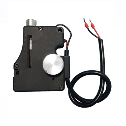
USB LiDAR: The Compact Powerhouse Redefining 3D Sensing Imagine holding a device no larger than your thumb that can map an entire room in seconds, detect obstacles for robots, or even assist in archaeological preservation. This isn’t science fiction—it’s the reality of USB LiDAR, a groundbreaking technology democratizing high-precision 3D sensing. Once confined to expensive industrial setups, LiDAR (Light Detection and Ranging) is now accessible to hobbyists, developers, and businesses alike, thanks to its integration into portable, plug-and-play USB devices.
LiDAR technology measures distances by emitting laser pulses and calculating the time it takes for the light to reflect back. Traditional LiDAR systems, often used in autonomous vehicles or topographic mapping, require complex setups, significant power, and specialized software. USB LiDAR, however, simplifies this process. By embedding LiDAR sensors into compact USB-powered modules, these devices offer real-time 3D scanning, obstacle detection, and environmental mapping with minimal setup. The marriage of LiDAR and USB connectivity eliminates the need for bulky hardware or intricate calibration. Whether you’re prototyping a robot, digitizing a historical artifact, or optimizing warehouse logistics, USB LiDAR provides a cost-effective, user-friendly entry point into advanced spatial sensing.
Portability Meets Precision Unlike traditional LiDAR units, which often resemble oversized camera rigs, USB LiDAR devices are lightweight and designed for mobility. For instance, the RPLIDAR A1 by Slamtec weighs just 100 grams but delivers 360-degree scanning with millimeter-level accuracy. This makes it ideal for drones, handheld scanners, or even educational kits.
Plug-and-Play Simplicity USB connectivity ensures compatibility with most modern devices—laptops, Raspberry Pi boards, or industrial PCs. No drivers? No problem. Many USB LiDAR models support cross-platform APIs (e.g., ROS, Python libraries), allowing developers to integrate spatial data into applications within minutes.
Cost-Effective Scalability Industrial-grade LiDAR systems can cost thousands of dollars, putting them out of reach for startups or researchers. USB LiDAR slashes prices to a fraction—often under $500—while maintaining robust performance. This affordability accelerates innovation in fields like smart agriculture, where farmers use LiDAR to monitor crop health, or retail, for optimizing store layouts.

Low Power, High Efficiency USB-powered LiDAR draws minimal energy, making it suitable for battery-operated projects. The Benewake TF-Luna, for example, consumes less than 1W, enabling seamless integration into IoT devices or mobile robots without compromising runtime.
Robotics and Automation Autonomous robots rely on LiDAR to navigate dynamic environments. USB LiDAR’s compact design allows robots like TurtleBot 4 to map warehouses, avoid obstacles, and interact safely with humans.
3D Scanning and Digital Twins Architects and engineers use USB LiDAR to create digital twins of buildings or machinery. The Livox MID-40, paired with a laptop, can generate precise 3D models for renovations or virtual reality simulations.
Accessible Environmental Monitoring Conservationists deploy USB LiDAR to track deforestation or erosion. In one case, researchers mounted a LiDAR module on a drone to map endangered coral reefs, achieving detail impossible with traditional cameras.
Education and Prototyping Universities are adopting USB LiDAR for STEM programs, letting students experiment with real-time data visualization and algorithm development. Startups, too, leverage these tools to prototype smart home devices or AR/VR interfaces.
Not all USB LiDAR sensors are created equal. Consider these factors:
Range and Resolution: Short-range models (e.g., 0.1–12 meters) suit indoor navigation, while long-range variants (up to 100 meters) excel in outdoor surveys.
Scanning Speed: Devices like the Ouster OS-1 offer up to 20,000 points per second for high-detail mapping.
Software Support: Open-source frameworks like ROS (Robot Operating System) or manufacturer-specific SDKs can streamline development.
As demand for spatial intelligence grows, USB LiDAR is poised to become even smaller, cheaper, and more versatile. Innovations like solid-state LiDAR (no moving parts) and AI-enhanced data processing will further expand its applications. Imagine USB LiDAR embedded in smartphones for augmented reality or in medical devices for non-invasive diagnostics. From empowering indie developers to reshaping industries, USB LiDAR proves that big advancements come in small packages. Its fusion of affordability, precision, and ease of use isn’t just a technical upgrade—it’s a gateway to a smarter, more connected world.